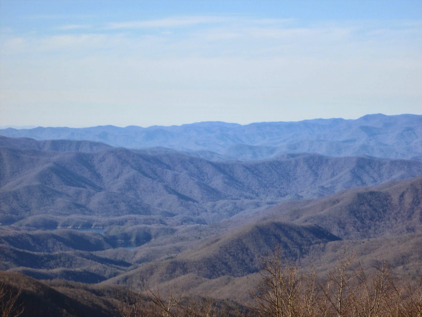
Finley Cane/Schoolhouse Gap/Turkey Pen Ridge

Hike #17 : May 3, 2014


From Finley Cane to Bote Mountain, Schoolhouse Gap, Scott Mountain Trailhead back to Schoolhouse Gap and down Turkey Pen Ridge


13.3 miles
8.7 new miles
231.9 total overall miles
147.0 total miles of 800.8


Another great day to be hiking in the Great Smoky Mountains!

Mr. Eddie Wright and myself met at the Finley Cane Trailhead on Laurel Creek Road around 7am this morning to continue our journey to 900 miles. Finley was a surprisingly easy trail. A nice early morning walk in the woods.


At 2.8 miles, Finley runs into Bote Mountain. A right turn here would have led us to the Appalachian Trail - but not today. Turning left, we go a mile and a half before returning to Laurel Creek Road. Here we cross the road for the next half of this loop hike.

Now we begin Schoolhouse Gap. This is a more moderate trail with more of an incline. At about 1.1 miles up, we came to Turkey Pen Ridge but pass it up in favor of hiking on up another 1.2 miles to the Scott Mountain Trailhead. Here we were supposed reverse direction back to whence we came but Eddie had a shortcut. I know that sounds like a bad idea but this time the shortcut was actually a shortcut down an unmarked and lightly used trail. Quite a bit of trees, water and mud but a nice hike. My hiking pants took one for the team when they got snagged on a fallen tree. Soon, we made our way to the White Oak Sinks.


The White Oat Sinks aren't on the map but are pretty well known. It's a beautiful place. Caves, flowers, and even a waterfall. There's also the single grave of Abraham Law high up on a hill.

The Bat Cave...

A view from the sinks...

The waterfall...

The hike out of the sinks isn't very long but it is steep and strenuous. As we found our way back to Schoolhouse Gap, it was just a short walk down to Turkey Pen Ridge. This trail was a bit of a surprise as is was mostly uphill and far from easy. Guess that was the price for the laid back walk of Finley Cane. We had really planned on a longer and harder day on the trail, so today was a pleasant surprise. Kinda nice when things are unexpectedly easier than we thought for a change. 

We ended this hike with a visit to the ice cream shop at Cade's Cove Campground. Awesome as always.

TRAIL REVIEW

Finley Cane Trail - 2.8 miles
Schoolhouse Gap Trail - 2.3
Turkeypen Ridge Trail - 3.6 miles


This hike was also inspired by Elizabeth L. Etnier's book Day Hiker's Guide To All The Trails In The Smoky Mountains.


For more pictures of this hike, check out the Smoky Mountain Hikertrash facebook page.

For more information on this hike and many more, visit Hiking in the Smokys.

Gabes Mountain/Maddron Bald/Snake Den

Hike #16 : April 19, 2014


19.5 miles
17.9 new miles
218.6 total overall miles
138.3 total miles of 800.8


Ah, Easter Sunday... what a great day for a hike! So this is my first hike based totally on tallying up some mileage toward the big 900. It's also my longest hike to date.

I hit the trail solo at 7am out of the Cosby Campground parking lot to Gabes Mountain Trail. Just a few tenths of a mile up the trail, it opens up into a powerful display of Mother Nature's destructive force. Dozens and dozens of broken and uprooted trees. Streams were literally covered by broken tree limbs and logs. A devastating sight.


The picture shows a creek crossing. I could hear the water beneath the mess of trees but couldn't even see the water. 

At about 2 miles, I came to the Hen Wallow Falls side trail. The sign said it was only .1 miles but I'm betting its a bit longer than that. It was all downhill to the falls and well worth the added distance. Its a pretty steep climb back to the trail. 


Then the trail does something unexpected. It stays virtually level with slight declines and an occasional upturn. Is this actually an easy 'walk in the woods' trail in the Smokies? For the next five miles it is. Other than the trail floor being 90% tree root, this is possibly the most pleasant lazy Sunday trail ever.

Of course, its called climbing UP a mountain so I know this easy walk won't last and at the 7 mile mark I come upon the Maddron Bald Trail junction. A left turn and up I go. The trail is a steady unrelenting uphill climb for the next 7 miles. I think I died somewhere around the tenth mile but I kept going. Anyway, about a quarter mile past the junction I came to the Albright Grove Loop trail and passed it up in favor of going the next .3 miles and start it there in order to get the full mileage of the trail. Gotta get those miles. Albright loop actually just circles around like the letter C and rejoins the trail. 


Shortly before this picture was taken, I saw my second bear on a trail. I spooked the little fellow when I got within about ten feet of him. Unfortunately, he saw me first and was gone in seconds. I did see his butt as he made his way into the brush. Hopefully I'll get a picture of the next one.

It was somewhere around the 12th or 13th mile that I actually came to Maddron Bald. Some really amazing views that I really wasn't expecting. Beautiful. 


Making it to the junction of Snake Den Ridge seemed to take forever. My Snicker Bar buzz from mile 11 was long gone and I was feeling about half past dead. Finally, at exactly 14 miles I arrived. With a left turn, it's all downhill from here. Its wet, narrow in places and rocky as crap but its DOWN hill and after the last 7 miles its a welcome sight. 


By the time I made it back to the campground, I was feeling pretty good. 19.5 miles. Wow. I may be getting the hang of this hiking thing after all. 

By the way, I hiked this trail exactly as described in Elizabeth L. Etnier's book Day Hiker's Guide To All The Trails In The Smoky Mountains.

TRAIL REVIEW

Gabes Mountain Trail - 6.6 miles
Maddron Bald Trail - 6.0 miles
Albright Grove Loop Trail - .7 mile
Snake Den Ridge Trail - 4.6 miles

2 campsites (29, 34)

For more pictures of this hike, check out the Smoky Mountain Hikertrash facebook page.

For more information on this hike and many more, visit Hiking in the Smokys.

The Boulevard

Hike #15 : April 5, 2014


Newfound Gap to AT, The Boulevard, The Jump Off, Myrtle Point, Cliff Tops, Mt. LeConte and down Alum Cave


16.6 miles
10.4 new miles
199.1 total overall miles
120.4 total miles of 800.8


This was my third hike up to LeConte but, honestly, it felt like the first.

Me and my hiking buddy Eddie set out early to hike The Boulevard Trail to Mt. LeConte. Judging by the fog and colder than cold wind when we got to Newfound Gap, things were looking a little shaky. Fortunately, when we hit the trail, the wind subsided for the most part. We hiked up the AT a little over two and a half miles where The Boulevard Trail branches off to the left. Going right would lead to Charlies Bunion.

Almost immediately after turning, we come to the junction of the Jump Off Trail. Although this is not an official trail, its well marked and easy to follow. The trail promises some excellent views but unfortunately, the fog was having none of that today. No worries. We've only just begun.

This was my first time on The Boulevard and I have to say I am very impressed. The views are non-stop on either side of the trail and the trail itself was a beautiful mix of moss and frost. I've never taken so many pictures.

The trail...


The views...


The trail is up and down and up and down. Somewhere around eight miles up I start getting tired but the views keep coming and I keep going. Around nine miles, we reach the summit electing to go left to Myrtle Point. At just a quarter of a mile, its very much worth the walk as the views are yet again amazing.


At this point (Myrtle Point, that is) we return back up the trail towards the lodge. If you don't know, LeConte Lodge is where you can rent cabins, buy stuff like the official 'I climbed Mt. LeConte' t-shirts and eat. They also have a bottomless cup of hot chocolate which I highly recommend. More info here. I digress.

It was somewhere around this point that I happened to mention to Eddie that I was tired, hungry and ready to get to the lodge asap. I had a Snicker bar and a Cherry Coke Zero in my pack screaming my name. So, Eddie being Eddie, somehow tricked me into another side trail. The Cliff Tops. I was not totally into this venture but away we go. Yep. Totally worth it. Big time. Truly breathtaking!


After The Cliff Tops we work our way down to the lodge. I devour the Snicker and Coke and down several cups of hot chocolate while sitting on the deck chilaxing in a rocking chair. Life is good.

Before leaving, we got an extra treat. We got to meet the llamas! I swear that when I took this guy's picture, he turned to the camera and smiled. No joke.


The subsequent hike down Alum Cave Trail was a blur. We put it in high gear and flew down stopping occasionally for yet more remarkable views. Probably less than a mile from the parking lot, I turned my ankle on a rock or root or something and stumbled like a fool for about ten feet or so until my sticks finally kept me from face planting. Bullet dodged. Ankle sore.

When all was said and done, this was one of the best and most beautiful hikes ever. From this point on, hiking The Boulevard up LeConte will be mandatory, hiking down still optional. 

TRAIL REVIEW

Appalachian Trail - 2.7 miles
The Boulevard Trail - 5.4 miles
Alum Cave Trail - 5.0 miles

1 shelter (Mount LeConte)

For more pictures of this hike, check out the Smoky Mountain Hikertrash facebook page.

For more information on this hike and many more, visit Hiking in the Smokys.


Thunderhead

Hike #14 : March 21, 2014


Lead Cove Trail to Bote Mt. past Spence Field to Rocky Top and on to Thunderhead


13.1 miles
3.0 new miles
182.5 total overall miles
110.0 total miles of 800.8


I started this solo hike before sunrise. I put on the ol' headlamp and away I went. I started out from the Lead Cove Trailhead off of Laurel Creek Road. The first half mile is majorly littered with fallen trees. Not too difficult to get around though. The trail is a steady climb from the get-go. Lots of rock along the trail. Around 5 miles up the trail hits the AT and Spence Field. Always a beautiful sight. Lots of thru-hikers out and about.

From here, its the trail to Rocky Top. Since I've already covered this one, I'll spare you the details. I will say it was no easier this time than the last. However, if possible, the view was better than ever...


My last trip to Rocky Top was supposed to have continued on to Thunderhead but we were so tired we decided to call it a day. Not this time. Thing is, its only about half a mile further. An easy half a mile at that. 


Although Thunderhead has some really nice views, its overshadowed by Rocky Top. Its a shame too because it really is nice, just a little underwhelming after what you've already seen.


I made really good time heading back down the mountain. Trying to avoid the rocks while trying to move as fast as possible can be challenging but fun. Truly one of the best hikes I've ever been on. Saw some real signs of spring on the way out, too. Including this little guy catching some sun on the trail.


Well, that catches us up. From now on, my posts should be current. I hope you follow along! Happy trails!

TRAIL REVIEW

Lead Cove Trail - 1.8 miles (in and out)
Bote Mountain Trail - 1.2 miles (in and out)
Appalachian Trail - 1.85 miles out 1.85 miles back


1 shelter (Spence Field)


For more information about this hike and many more, visit Hiking in the Smokys


Brushy Mt.

Hike #13 : March 15, 2014


13.3 miles
5.9 new miles
169.4 total overall miles
107 total miles of 800.8


The first day of spring break and I'm spending it on the trail. Great day for hiking. After driving down the narrow gravel road to the trailhead, I'm ready to go. Got my new shoes on and I'm off! The hike begins on the Porters Creek Trail which, at least the mile I hike today, is basically a gravel road. Less than a mile in, I come to the old John Messer farmstead on the right. There's several buildings including an old barn dating back to 1875, a homestead and even a 2 seat outhouse. Fancy.


Just beyond here there's an old cemetery. Creepy as it may be, I really enjoy looking through the old tombstones. Someone had left flowers on every single one. Really nice.

After one mile, the trail forks. To the right, Porters Creek continues on towards campsite 31. The left merges onto Brushy Mountain Trail so right I go! 

As I continued, the trail climbs at a steady pace. A good pace. Ok, so somewhere around the 4th or 5th mile, I stop to apply chapstick when what appears to be a black chicken just wanders onto the trail ahead of me. I tried to get a picture but it scurried off like chickens do. Question is, was it some kind of wild chicken or is there even such a thing? Who knows. If you think you do, let me in on it. Really curious.

When I reach Trillium Gap, I turn right towards Brushy Mt., a right turn leads 3.6 miles up to Mt. LeConte. It's about a half mile to the top from here. Lots of rocks and mud for the feet here. The trail itself is remarkable...


The top really has some nice views right now. I'd assume that once everything is in bloom that the views may be more limited. After a nice lunch, I head back out. I really enjoyed this hike. No crowds. Just me and the mountains. Great day.

TRAIL REVIEW

Porters Creek Trail - 1.0 mile (in and out)
Brushy Mountain Trail - 4.9 miles (in and out)


For more information on this hike and many more, visit Hiking in the Smokys


Chimney Tops

Hike #12 : March 2, 2014


4 miles
2 new miles
142.8 total overall miles
101.1 total miles of 800.8


After a long hiatus from the trail, I'm going solo for my first hike in the park of the year. I'd hiked the Tops several years ago and recalled them to be a couple of really tough miles up. Boy, was I right. The first mile of the Chimney Tops Trail is uphill but nothing compared to the second mile. It's a 960 foot climb in a single mile. A real leg burner.

The Trails Forever program has been working on some extensive repair and upgrade work on this trail. I imagine this is one of the most popular trails in the park and all the overuse is bound to have ill effects over time.

After finally making it through that second mile, I come to the rock summit. Time to get my climb on!


Although this is not a huge climb, it could still be dangerous and then there's that whole fear of heights thing but its all good. Excellent views all around!


Heading back down, I was making really good time. Got back to the truck in no time. Shed my gear, threw my pack, sticks, pack and keys in the truck and locked the door. Wait... keys? So much for making good time. So, what's a man to do when he locks his dumbass self out of his truck on a mountain with zero cell service? Beg. Plead with every single person heading down the mountain to contact a ranger. What do these people do in my time of need? Promise to help of course. Empty promises, every one. Faith in humanity shaken. After over a hour, as fate would have it, there were several truckloads of park officials and press there to do a media piece on the repairs of the trail. They were more than happy to contact a ranger who arrived maybe 15 minutes later. I wish I could remember his name. He did a super job getting the door open and it wasn't easy. Thank you, park ranger dude!


For the record, not a single person contacted the ranger's office on my behalf like they promised. Don't be that person. If someone needs your help and you say you'll help, do it. I will mention that a nice couple from Georgia kept their word and called my wife and let her know what was happening. Always an adventure. 

TRAIL REVIEW

Chimney Tops Trail - 2.0 miles out 2.0 miles back


For more information on this hike and many more, visit Hiking in the Smokys


Andrews Bald

Hike #11 : September 7, 2013


3.5 miles
1.1 new miles
116.3 total overall miles
99.1 total miles of 800.8


This hike is a continuation of the Silers Bald hike in the last post. It seemed like a good idea at the time to add another 3.5 miles to an already 9.3 mile hike. We're not always smart men, Eddie and I. So we bypass Clingmans Dome by taking, you guessed it, the Clingmans Dome Bypass Trail and head straight down the mountain. This little trail is only .5 mile long and merges into the Forney Ridge Trail. This is a very tourist friendly hike. Wooden walkways, gravel and steps to try and make it family accessible.

This is our second attempt at Andrews Bald. The first was aborted due to massive fog but today its a clear blue sky. The panoramic views await! So we hike down and as we arrive, just before stepping out into the opening... fog. Honest to God. It was absolutely gorgeous until we got there. Andrew doesn't seem to care for us. The view...


No joke. We tried to wait it out but the walk up was looming. The fog would tease us occasionally and give us a peek but that was all we got. Guess we'll be going back for a third try someday.


The hike up was pretty strenuous but we did already have a good 10 miles in. All in all, it was another great day to be alive and on the trail!

TRAIL REVIEW

Forney Ridge Trail - 1.1 miles out 1.1 miles back


For more information on the hike and many more, visit Hiking in the Smokys