Hike #14 : March 21, 2014
Lead Cove Trail to Bote Mt. past Spence Field to Rocky Top and on to Thunderhead
3.0 new miles
182.5 total overall miles
I started this solo hike before sunrise. I put on the ol' headlamp and away I went. I started out from the Lead Cove Trailhead off of Laurel Creek Road. The first half mile is majorly littered with fallen trees. Not too difficult to get around though. The trail is a steady climb from the get-go. Lots of rock along the trail. Around 5 miles up the trail hits the AT and Spence Field. Always a beautiful sight. Lots of thru-hikers out and about.
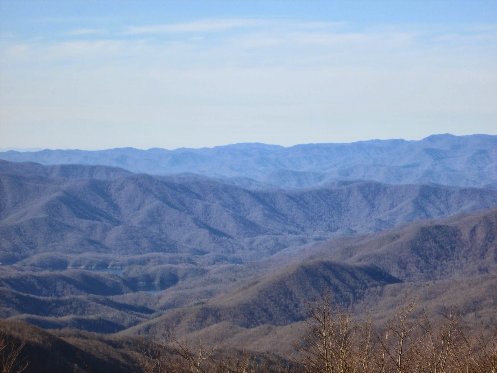
From here, its the trail to Rocky Top. Since I've already covered this one, I'll spare you the details. I will say it was no easier this time than the last. However, if possible, the view was better than ever...
My last trip to Rocky Top was supposed to have continued on to Thunderhead but we were so tired we decided to call it a day. Not this time. Thing is, its only about half a mile further. An easy half a mile at that.

Although Thunderhead has some really nice views, its overshadowed by Rocky Top. Its a shame too because it really is nice, just a little underwhelming after what you've already seen.

I made really good time heading back down the mountain. Trying to avoid the rocks while trying to move as fast as possible can be challenging but fun. Truly one of the best hikes I've ever been on. Saw some real signs of spring on the way out, too. Including this little guy catching some sun on the trail.

Well, that catches us up. From now on, my posts should be current. I hope you follow along! Happy trails!
TRAIL REVIEW
Lead Cove Trail - 1.8 miles (in and out)
Bote Mountain Trail - 1.2 miles (in and out)
Appalachian Trail - 1.85 miles out 1.85 miles back
1 shelter (Spence Field)
For more information about this hike and many more, visit Hiking in the Smokys
No comments:
Post a Comment