Hike #60 : March 20, 2016
20.5 miles
13.0 new miles
729.3 total overall miles
464.6 total miles of 800.8729.3 total overall miles
 |
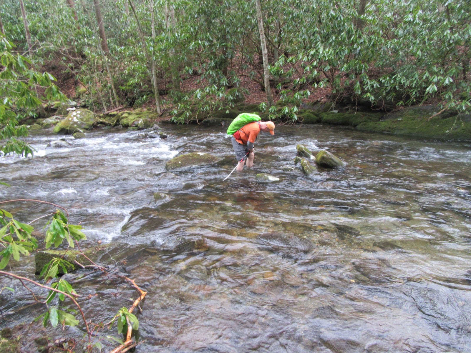
| Denise and Randy (barely visible) hiking Sunkota in the dark... |
I'd like to start this blog by saying this trip has been a long time in the planning. For me, at least. So when my wife, Denise, and my good hiking buddy, Randy, decided they were up for the trip I was beyond excited to finally get to the Deep Creek area of the Smokies. I studied and researched. Drew maps. Calculated this, pondered that... we were totally prepared.
We made a stop along the way at the visitor's center and to hike the Oconaluftee River Trail before making our way to Deep Creek. Now, I will mention that I had looked at three possible hikes in the area. I even color coded a map all nice and pretty like. Denise wanted to see the waterfalls so Randy suggested the "red" hike so we were off! Upon our arrival at Deep Creek we started off with the Juney Whank Trail up to our first waterfall. (Just remember, it was all Randy's idea!)
 |
| Juney Whank Falls |
The Juney Whank Trail is a short walk that, although a bit steep to start, is pretty easy for such reward. The bridge across the falls is a nice touch. I can see why its so popular. From here, we continue on to the Deep Creek Trail passing by the Deep Creek Horse Trail along the way. At the junction with Deep Creek Trail, a left turns leads quickly to Tom Branch Falls. A sixty foot waterfall just to the right of the trail. A peaceful place for sure.
 |
| Tom Branch Falls |
Beyond Tom Branch Falls, the trail continues a gentle grade up to the Indian Creek Trail junction where we turn right onto Indian Creek. About 200 feet from the junction, we came to Indian Creek Falls which was. in my opinion, the best of the three falls. Remarkable!
 |
| Indian Creek Falls |
This is where most people turn around and head back home to the old couch and TV but we're here for more than sight-seeing, we're here for some miles. After half a mile on Indian Creek, we came to the Stone Pile Gap Trail and decided to do a quick out and back. Stone Pile was a much nicer trail than I expected although there were definitely piles of stone on the trail along with some really wet spots. We came across a trail maintenance crew and even met a few furry friends.
 |
| Walking along Stone Gap Trail... |
Stone Gap is a pretty good .9 mile climb up to the Thomas Divide where we turn around and head back to Indian Creek. After returning to Indian Creek we take a right .3 miles up to the junction with Loop Trail. Since Randy is unhealthily obsessed with mile marking, we again do an out and back half a mile up (and I mean way up) the Loop Trail until we reach Sunkota Ridge and run uncontrollably back down where Denise was waiting patiently for the two idiots to return.
Continuing on along Indian Creek is a pleasant walk. It was around this time that I inquired with Randy what the odds were of us getting out before dark. "Shouldn't be a problem." he said. I wasn't so sure personally but Randy has never led me astray before so... wait. What am I saying? Randy is always leading me into some God-forsaken predicament. Oh, well... as Jimmy Buffett says, 'it's my own damn fault.' Lol!
About a mile and a half on up Indian Creek, a "No Horses" sign marks the side trail to the Laney Cemetery. Randy and Denise don't share my love for the cemeteries so they wait as I climb the somewhat steep trail up.
 |
| Laney Cemetery |
The trail continues it mostly flat walk and after about a mile and a half more we came to the second side trail leading to the Queen Cemetery. These cemeteries are almost always up a steep hill and this one is no different.
 |
| Queen Cemetery |
Around a quarter mile past the cemetery we come to the Deep Low Gap Trail junction. It gets a little confusing here as continuing straight would seem like you're continuing Indian Creek when, in fact, the trail becomes Martins Gap at the junction. From here, the Earth shifts on it's axis to insure that every step we take is uphill. Sometimes steep, sometimes not terribly steep but always, always up.
Now, bear in mind, my lovely bride is new to hiking. We hiked a bit in the past many moons ago but this is only her 4th hike in the last seven or eight years. I'm starting to think we may be pushing her a bit far here but she's doing an excellent job and besides, we're all long past the point of return now.
Martins Gap climbs steadily and seemingly endlessly up to Sunkota Ridge. Its beautiful but brutal at the same time. I'm really feeling guilty for dragging Denise into this because its more than I bargained for... I can only imagine what she was thinking.
 |
| Reaching Sunkota Ridge... |
Looking at that picture would lead you to believe we'd finally reached the top. Yeah, that's what we thought, too. Hardly. At least we were, at last, heading back. Sunkota climbs steeply for just less than a mile before the hiking gods finally had mercy on us and blessed us with reaching the tippy top of this massive hike. What kept Denise from beating me and Randy to a pulp with her hiking poles is beyond me. I guess she, like us, was just too damn tired. Oh, and the sun is going down.
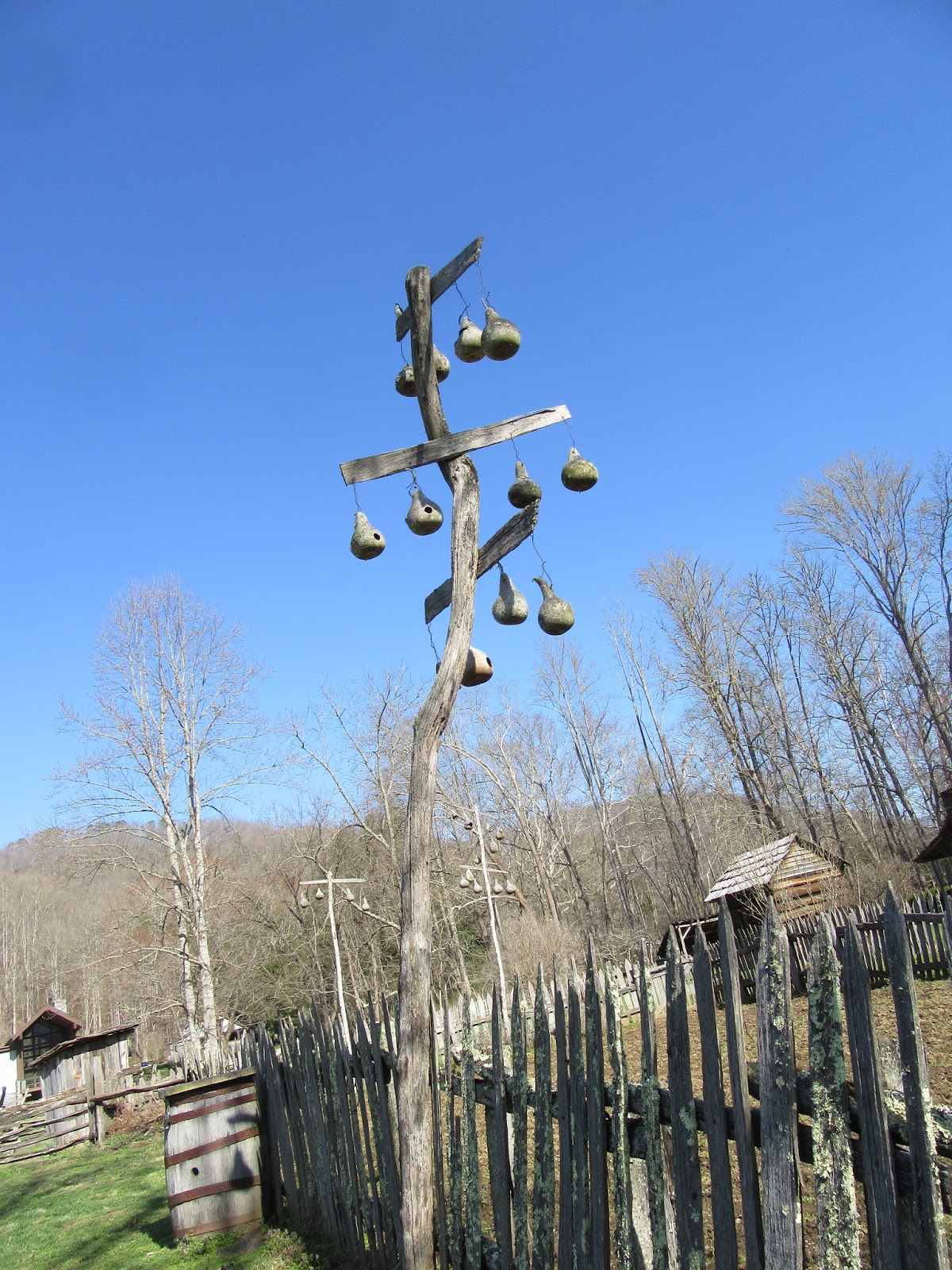
 |
| A handmade cross of sorts marks the small clearing at the very top of Sunkota Ridge. |
A few miles down and its painfully obvious that not only are we not getting out before dark but we're not even going to be close. Seems I recall somebody saying we would be... hmmmm, who was that?
If you've ever been on a really long hike, you're probably aware that no matter how tired you are or how much pain you may be in, its still a crapload of fun. Especially when the delirium kicks in! We were laughing at our misfortunes, miscalculations and missing energy. Picking on each other and just being the hilarious stupid people we are. It was awesome.
After about a million miles (actually, just 3.8 miles but it felt like just shy of a million), we were grudgingly stomping along in the darkness when we made it back to the Loop Trail. Still a ways to go. My GPS had been a bit squirelly all day when it came to distances, so we just keep going and hoping the end comes sooner rather than later. Shortly after the junction with Loop Trail, another "No Horses" sign secretly points the way to an Indian cemetery. Against better judgment and plain old common sense, I venture up the hill alone with just my headlamp to guide the way. Creepy and beautiful. I couldn't help but think what it would be like if my light went out. It'd be dark. Super crazy dark.
 |
| Indian cemetery off Deep Creek Trail... at night. |
Once we were back on Deep Creek Trail, it was easy walking aside from aches and pains. Its amazing how water looks while night hiking. Its reminiscent of that black alien goo from the X-Files. Kinda creepy. Kinda cool. After following Deep Creek for 1.7 miles, we see the most glorious flickering of lights reflecting from our headlamps... the beautiful sight of the gate and parking lot where we once stood so naively. I bust out in to a verse of 'Glory, glory hallelujah!' as we walked off the trail at 10:30 like three beaten down, smelly and yet somehow still remarkably attractive hikers. Lol!

Even through all the insanity of it all, it was still a great day and absolutely unforgettable. I have to say that I was and I still am extremely proud of my beautiful wife for not only surviving this craziness but doing it with a smile. I think she'll be a hiker for life after this. And not only that, she actually made dinner when we got to the cabin afterward while Randy and I sat and whined about our aches and pains whilst planning the next hike. Best hot dogs ever!
As for Randy... well, in the end, it was all his fault. Thanks, dude. :)
TRAIL REVIEW
Juney Whank Trail - 0.3 mile
Deep Creek Trail - 1.7 miles x 2
Stone Pile Gap Trail - .9 mile (one way)
Indian Creek Trail - 3.7 miles
Loop Trail - 1.1 miles (plus .5 for the out and back)
Martins Gap Trail - 1.5 miles
Sunkota Ridge Trail - 3.8 miles
Juney Whank Falls
Tom Branch Falls
Indian Creek Falls
Campsite #46
Laney Cemetery
Queen Cemetery
Indian Cemetery (Deep Creek)
Wanna hike the 900 without getting lost? Start by checking out the book Day Hiker's Guide To All The Trails In The Smoky Mountains by Elizabeth L. Etnier.
Hiking Trails of the Smokies or "The Little Brown Book" from the GSMA
Hiking Trails of The Great Smoky Mountains by Ken Wise
There is loads of information in the pages of GoSmokies.com.