Hike #23 : August 29, 2014
9.5 miles
7.5 new miles
312.3 total overall miles
218.0 total miles of 800.8312.3 total overall miles
I was a little concerned about this trail after reading many of the footbridges were washed out or otherwise destroyed, including one that is believed to be the longest in the park. Last weekend's prediction of heavy rain seemed to make things too risky without more information but after a hot and dry week, today's the perfect day!
After a two hour drive, I arrived at the trailhead to Caldwell Fork Trail where I'll be starting my hike. Just about a mile from the trailhead a bear darted across the road in front of me. Always a good sign! A quick look at the trail and there's the footbridge. Guess I won't be getting my feet wet just yet.

The trail starts off meandering through the woods for .8 mile where it comes to a fork. Staying right would keep you on Caldwell Fork and a left turn starts Boogerman. I decided to go left. Here was the first non-bridged creek crossing. I decided to take my chances and walked across a fallen tree instead of changing into the sandals this early in. No problems.
Almost immediately the trail starts its incline. Its a good trail. Not a lot of roots and rocks and the usual beautiful surroundings of the Smokies. There's an abundance of huge trees all along the trail. Stories abound that Robert Palmer (aka Boogerman) was the most stingy of all the settlers in the Smokies when it came to the timber on his property. It was common and profitable for settlers to sell logging rights but Palmer would have none of that and thus the old growth forest we have here today can be attributed to that fact. Thanks, Boogerman! After just over 2.5 miles, the trail gives me one last massive hill to climb before taking a turn downward. From this point on, the hike is mostly easy to occasional slightly moderate climbs. There are several stone walls, one of which is the biggest I've seen on trail to this point.

Since the trail is relatively short, I decided to check out any and all side trails. Often an unmarked side trail can lead to cemeteries and, as I've said before, I really enjoy that. The first side trail took me steeply up to what actually looked like a grave yard with no graves. No stones, no markers. Just a small round patch of well maintained grass. Hmmmm? After a little post hike research, turns out this is actually the Carson-Messer Cemetery. The second side trail was near a stone wall and a fair distance away I found the second cemetery of the day. This is the Palmer Cemetery. Four unmarked stones surrounded by a serious barbwire fence. I really get the impression that the old Boogerman lived up to his nickname. Pretty cool!

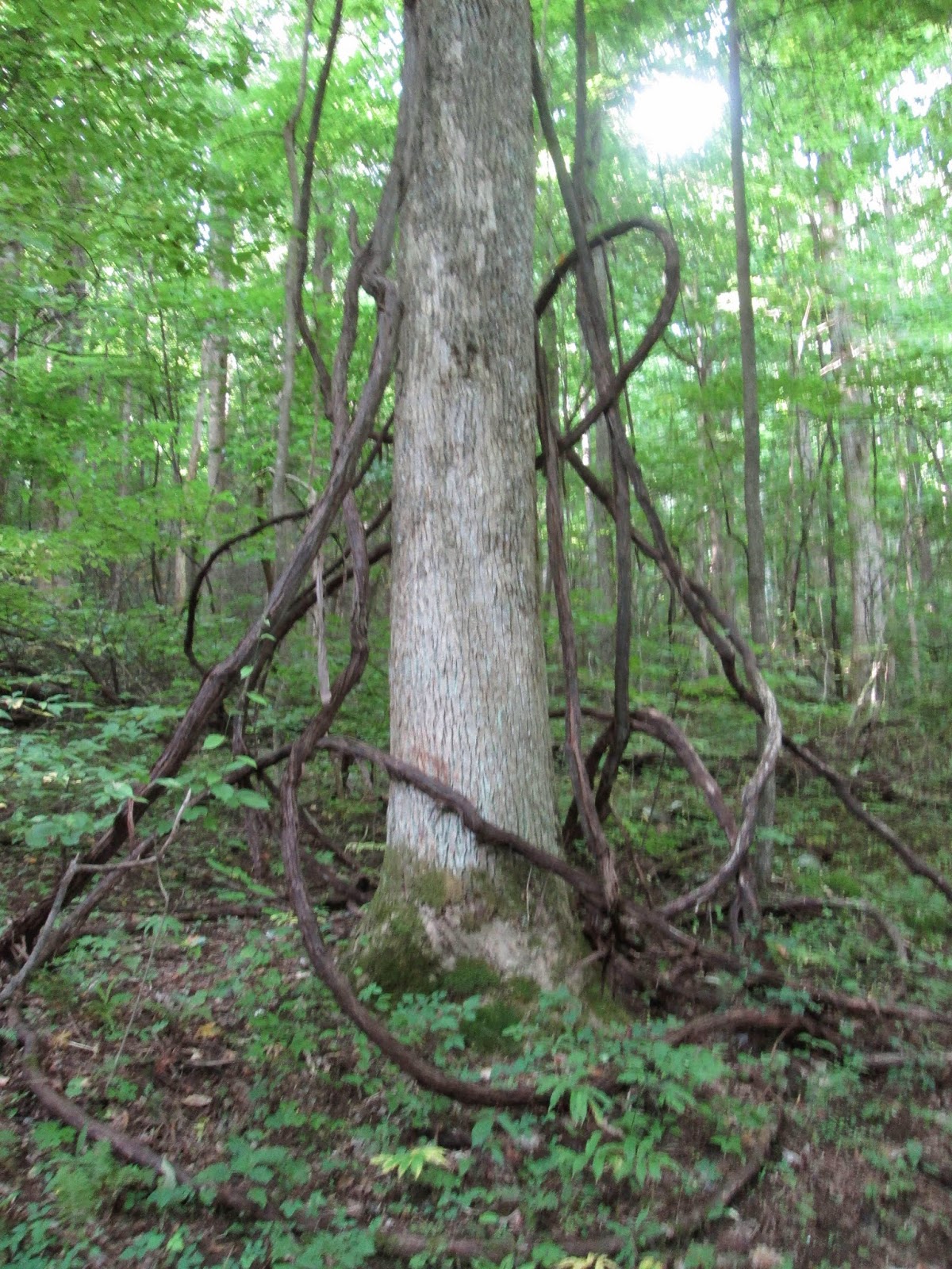
At one point as the trail travels down, it basically walks you directly into a giant hollow tree. Big enough for my 6 foot 2 frame and backpack with room to spare.

At 4.7 miles, Boogerman runs into Caldwell Fork again. To continue the loop you take a right and soon cross a half collapsed footbridge. Since I'm in search of the 900 miles, I turn left up Caldwell to get the half mile to the junction with Big Fork Ridge and McKee Branch. After reaching the junction, I turn around and head down Caldwell Fork again. Someone has been busy cutting the grass along the trail and they've done a tremendous job. One particular fallen tree had been sawed and tagged indicating the age of the tree.

With about two miles remaining on the hike, I come to the next bridgeless water crossing. This time I gladly replace the hiking shoes for sandals and head in. As cold as the water is, it feels amazing on tired hiking feet! Since the trail is winding down, I leave the sandals on and bypass the next several footbridges in favor of wading. About a quarter of a mile from the end of the trail, I spotted a bear cub just a few feet off the trail. As I stopped, it took one look at me and poof, it was gone. I'm always amazed at how they take off in an instant and there's no trace of them, no sound... nothing.

Overall, this is a wonderful trail. I'd say its one of my favorites. I have a lot of favorites. With all the water, I'd recommend it as a summer hike but I'd definitely recommend it!
On a side note, I also recommend a drive around Cataloochee after the hike. The park has put a lot of work into fixing things up and there's a lot to see. Palmer House and exhibit, Palmer Church and cemetery, the Cladwell house, cemetery and barn along with another church and school house all in a relatively small area. Saw a lot of fat turkeys walking around. There's also a lot of Elk signs around but, alas, I still didn't see an elk. Maybe next time.
Happy Trails!
TRAIL REVIEW
Caldwell Fork Trail - .8 mile
Boogerman Trail - 3.9 miles
Caldwell Fork Trail - .5 mile out .5 mile back
Caldwell Fork Trail - 2.7 miles
Cataloochee Campground
Wanna hike the 900? Start by checking out the book Day Hiker's Guide To All The Trails In The Smoky Mountains by Elizabeth L. Etnier.
For more pictures of this hike, check out the Smoky Mountain Hikertrash facebook page.