Hike #3 : April 13, 2013
Cades Cove Picnic Area to Anthony Creek, Bote Mt. to the AT and Spence Field to Rocky Top, back out to Russell Field along the AT and back to Anthony Creek
15.6 miles
11.9 new miles
47.2 total overall miles
42.2 total miles of 800.8
Wish that I was on ol' Rocky Top...
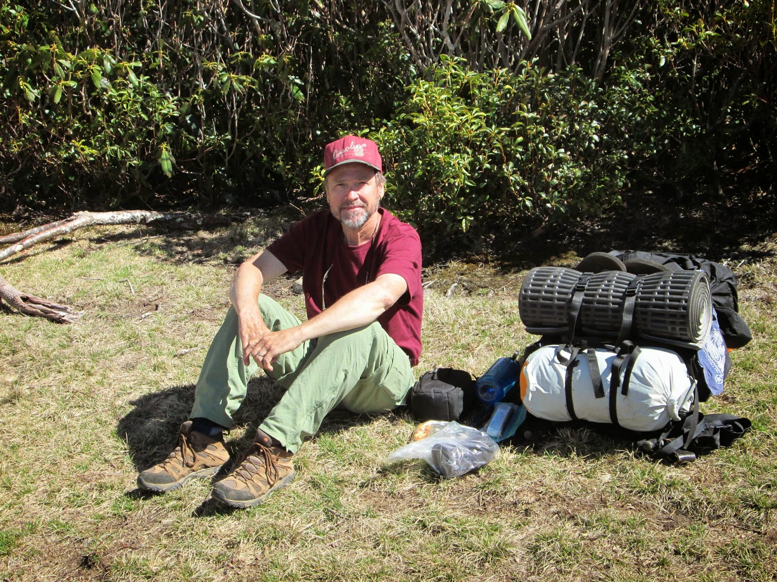
This one was supposed to start at sunrise but was slightly preempted by the gate to the picnic area being locked. Fortunately, a ranger came by and unlocked it before we (Eddie, Mike and I) had to resort to plan B. Still don't know what plan B would have been but there's no way it would have been good.
This is definitely a hardcore hike. Its all up hill and its called Rocky Top for a reason. Its extremely rocky and rough on the feet. This is also a horse friendly trail which means mud. Deep, black, slippery and inescapable mud. We start the trail from the Cades Cove picnic area on Anthony Creek Trail. It starts out as an incline up a gravel road before heading into the forest. At 3.5 miles, we reach the junction with Bote Mountain Trail. After a right turn, we continue up to the Appalachian Trail for 1.7 miles. When we reached Spence Field, the sky was blue and the view spectacular. It was here I met my first thru-hiker, Jeff. A nice guy with a big ol' backpack. Hope he made it to Maine.
After leaving Spence Field, the trail seemed to get easier. Downhill in fact. Don't be fooled. This is only a trick! After about half a mile breezing downhill all la-ti-da and all, the earth seemingly falls off its axis and you begin what seems like a 90° incline. Mike and I are traveling at a pace of three feet and rest while Eddie finally gets fed up with our inabilities and speeds past us like a Lamborghini passing a dump truck. Have I mentioned my deep hatred for Eddie? Nevermind. Alas, we did eventually get there and it was so worth it. The view from good ol' Rocky Top is hard to beat. Many say its the best view in the park and its hard to argue that when you're there.

As we made our way out, Eddie somehow convinced us we wanted to go the long way and stop at every shelter along the way as we looped around the Russell Field Trail. He's evil like that. Evil. Anyway, we did meet some interesting people and had a great day. As we hit Anthony Creek we really picked up the pace. I had gone on and on about the ice cream shop at the Cades Cove Campground store. Let me just say right here on the interweb in front of God and everybody that the ice cream in Cades Cove is the best in the universe. This fact is not up for debate. I wanted my ice cream and that motivated the crap right out of me. In hindsight, we may have went a little too fast for Mike. It was only the 2nd hike he'd ever been on.
Sadly, this hike ended on a sad note. The campground store wasn't open. No ice cream.
No ice cream...
Oh, well. Here's a picture of me and a really cool, albeit dead, tree.

Until next time.
TRAIL REVIEW
Anthony Creek Trail - 3.5 miles
Bote Mountain Trail - 1.7 miles
Appalachian Trail - .3 mile
Appalachian Trail - 2.9 miles
Russell Field Trail - 3.5 miles
Anthony Creek Trail - 1.6 miles
2 campsites (9, 10) and 2 shelters (Spence Field and Russell Field)

No comments:
Post a Comment