Sugarland Mountain and The Chimney Tops

Hike #56 : November 23, 2015


10.1 miles
4.8 new miles
685.3 total overall miles
442.3 total miles of 800.8


View from atop the Chimney Tops

Hiking on a Monday is a rare treat so Randy and I decided on a rare hike to go along with that. This is a car drop hike and we meet at the Chimney Tops Trailhead, leave a car and drive towards Clingmans Dome to a connecting trail for a short walk along the AT leading to the Sugarland Mountain Trail. Its a frosty start in 19° weather under crystal clear blue skies.


Frosty start in the Smokies

The Sugarland Mountain Trail starts off a little rocky and well-worn as we made our way the half mile to the Mt. Collins Shelter that sits just off the trail.


Mt. Collins Shelter

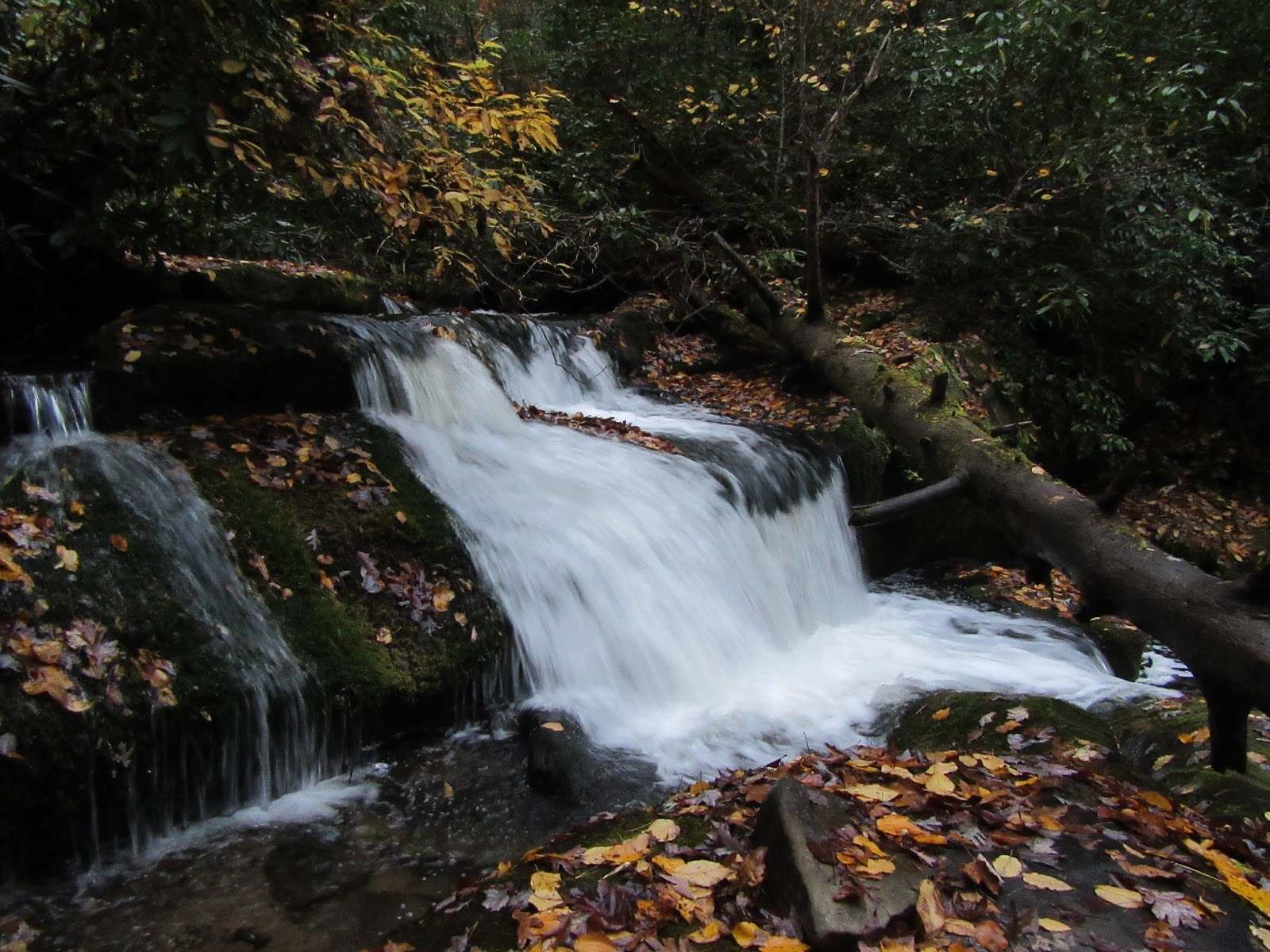
Sugarland is a beautiful trail and a mostly easy hike down from Clingmans Dome road. There is an almost constant view from the left or right and sometimes both sides of the trail. With the leaves down, its quite amazing!


View from Sugarland Mountain Trail

At the 3.3 mile mark, we come to the manway to the Chimney Tops. It'd be easy to miss unless you're really looking for it. Anyway, we'll be taking this route later but for now we head on down Sugarland toward the junction with Rough Creek.

The trail begins a much more steep decline from here. It also offers up many more wonderful views along the way.


Another fantastic view!

Once we reach the junction at Rough Creek, we turn around and begin the arduous task of hiking back up the mile and a half to the manway we passed earlier. This is quite a climb. Since completing this section of Sugarland Mountain, I've now hiked the whole trail and I gotta say, I think it'd be a terrific trail to hike from end to end. Its just 12 miles but would require a long car drop. I imagine it would be a remarkable hike as I've enjoyed all three sections. You can read my blog on the other two here and here.

After finally making our way up the big climb, we arrive back at the manway to the Chimneys. The only marker, if you want to call it that, is the rotting remains of a fallen tree.


The Chimney Tops manway cuts to the left behind this stump

The manway begins at an elevation of just over 5,000 feet and immediately drops steeply. The snow on the ground makes things a little slippery but the footing is not too bad. The rhododendron is thick but is not very intrusive on the pathway. There's also some unique views along the way. The best of which is looking down at the Chimney Tops.


Looking down at the Chimneys from the manway

As many times as I've been to the Chimney Tops, up that grueling climb of a thousand steps, looking down on it gave a new and glorious perspective of it all. Breathtaking. Randy was thinking that getting a good view of what needed climbing may help the actual climb up to the top of the Chimneys. If anything, I think looking at it like this with the tiny little people climbing up... the vastness of the surrounding mountains... it may have had an opposite effect.

The manway itself is just under a half mile and drops a little over 200 feet. For the most part, its not too difficult. The footing can be a little tricky, especially with the fallen leaves and snow, but its a slow walk anyway. The rhododendron actually comes in very handy as something to hold on to when the hiking poles aren't enough. At one point, I slipped and would have wiped out pretty bad if not for catching myself on a big rhodo branch.

The manway comes to, and follows above, the official Chimney Tops Trail for a little while before popping out just before reaching the climb to the summit. Its not at all easy to see where the trails meet, at least not where we came out. Its absolutely amazing to me that the Chimneys can be accessed by hiking almost completely downhill. Who'd thunk it?

Randy and I had lunch with an amazing view before making the climb up. Well, I made the climb up. Randy came to his senses.


That's me making it to the top. Photo by Randy Hullinger

View from the Chimney Tops

View from the Chimney Tops
From here, we hiked down The Chimney Tops Trail, which is always loads of fun as all the tourist hikers are asking "how much further" and "are we almost there???". I feel their pain and revel in their misery. I'm a horrible person. Lol!

I look forward to doing this hike again someday. It was fantastic! Take out the 3 miles of hiking to Rough Creek and back and it'd be a relatively easy hike with huge payoffs. Until next time... happy trails!


TRAIL REVIEW

Sugarland Mountain Trail - 4.8 miles (plus 1.5 miles back from Rough Creek to the manway)

Chimney Tops Manway - .4 mile

Chimney Tops Trail - 1.1 miles

Road Prong Trail - .9 mile


Mt. Collins Shelter


Wanna hike the 900 without getting lost? Start by checking out the book Day Hiker's Guide To All The Trails In The Smoky Mountains by Elizabeth L. Etnier.

Hiking Trails of the Smokies or "The Little Brown Book" from the GSMA


There is loads of information in the pages of GoSmokies.com.

Kephart Prong, Sweat Heifer, Dry Sluice, Grassy Branch

Hike #55 : November 14, 2015


16.4 miles
9.5 new miles
675.2 total overall miles
437.5 total miles of 800.8


For this hike we're heading up to Charlies Bunion by way of Kephart Prong and looping around clockwise via Sweat Heifer, the AT, Dry Sluice and Grassy Branch. This is one of many of our long anticipated Fall hikes.


View from Charlies Bunion

I parked at the SVC and rode with Randy up the mountains where we were fortunate to catch the sunrise at Newfound Gap.


Sunrise at Newfound Gap

We also stopped at a few of the pull-offs along the way...


Webb Overlook

We met up with Eddie at the Kephart Trail trailhead around 8am with temperatures in the upper 20s and were soon on our way. In no time at all we came to the ruins of the old CCC camp from the 1930s. CCC Company 411 once occupied much of this area. Although we didn't have a lot of time to explore, we did take in several cool artifacts including the obvious stone chimney, stone announcement board, a very cool stone water fountain, the foundations of the old barracks and some other interesting relics before moving on.


CCC Camp on Kephart Prong

Farther along we cross the first of many foot bridges. An unusual one at that.


Unique foot bridge on Kephart Prong Trail

As the trail begins a gradual climb, we spot the large concrete cistern on the left that was once part of a fish hatchery built in 1936.


Remains of the fish hatchery

As we continued on, we pass a few old railroad rails just before the trail begins to narrow. This part of the trail was once a railroad used by the Champion Lumber Company. The trail is a constant and rocky climb until reaching the junction with Sweat Heifer and Grassy Branch. Just a few steps beyond the junction is the Kephart Prong Shelter.


Kephart Prong Shelter

Since we'll be looping around, we decide to go up Sweat Heifer and we'll return here from Grassy Branch later.

Sweat Heifer continues our climb. Having the word "sweat" in the name of the trail would seem purposeful and very fitting. I'm about to break a sweat just writing about it. It sure wasn't long before we shed our jackets. At less than 2 miles from the junction, we spot what looks like a really nice cascade down the ridge to our left. We immediately begin looking for a side trail or some route down. At this point, Randy claims there is a faint trail. So faint, only he can see it.

I will note that after several hikes with the mountain jedi, Mike Maples, it is nearly impossible to resist the temptation of wandering off trail for that magical high of discovery. So, against my better judgement (I say that a lot), down we go. Down, down, down. Through briars and thick rhododendron until we see that this is not just a pretty cascade but a sizable waterfall. Well, there's no turning back now!

As if the ugly of trying to navigate impassable brush wasn't enough, the ground below us suddenly becomes ultra-saturated. Water was literally gushing from each step. Zero traction. Did I mention this was Randy's idea? At one point my right leg took a slide leaving my entire body weight (and there's plenty of that) awkwardly pinning my bent left leg and foot in some unnatural and rather painful position. Randy had to help me up or else I'd had to roll over in the mud to break the position I found myself stuck in. I'm still paying for that. Sometimes I get to wondering if I'm too old for this shit. Nah... surely not.

Finally, after half an hour of abusing ourselves, we somehow manage to get there. Worth. Every. Step. It was amazing!


Hidden waterfall off Sweat Heifer Trail

Here's a quick video...


After celebrating this incredible find, we soon became aware that we had to climb back up that ridge. Joy. By the way, I took it upon myself (and Eddie egging me on) to declare the falls Cameron Falls. Hear ye! Hear ye! From this day forth...


Randy forging up into the ugly.

Mud. Leg pain. Ripped pants. Stabbing Rhodo branches. Knee pain. Briars. More mud. Steep straight up hill climb. Foot pain. Wet feet. This was rough. Really rough. Worth it? Totally.

Back on the trail after losing an hour playing, we continue up the real trail. Sweat Heifer is a really nice trail with several nice views along the way and even a nice cascade that doesn't require blood to see.


Along the Sweat Heifer Trail

After 3.7 miles, Sweat Heifer ends at the Appalachian Trail. Just before the junction, however, there are some amazing views.


View from the Sweat Heifer Trail, just steps from the AT

Once we hit the AT, we go right towards the Boulevard. Thankfully Eddie said its just a mile down hill. As we start climbing UPhill, I'm reminded of how much Eddie lies. Like, a lot. That mile feels a lot longer than it is. Then again, all that off-trail madness stole a lot of my energy. When we did finally reach the junction with the Boulevard Trail, we take it and head the .3 of a mile to the Jump Off. At this point, the entire hike has almost all been uphill and its starting to weigh on me in addition to the pains shooting around my left leg and foot. The view when we reached the Jump Off made me forget all that. Absolutely breathtaking!


The Jump Off

Randy proved his fear of heights is stronger than mine and left me and Eddie behind when we wandered too close to the edge for his comfort. After taking a lot of pictures, we finally move on. When we get back to the AT we turn left and head towards the Icewater Spring Shelter where we can't wait to have lunch. We met back up with Randy, ate, talked with some nice tourists from (I think) New Jersey and were back on the trail headed to Charlies Bunion.

We finally get to go downhill some. Thank God!

After about a mile from the shelter, we arrive at the Bunion. The view is stunning. Visibility is through the roof and we can see for miles and miles and miles. The clearest view I've ever experienced from here, by far.


View from Charlies Bunion

The pain in my leg is nonexistent with all the beauty and excitement so I climbed the rock face up to the upper Bunion. That was pretty awesome!


Eddie standing atop the upper bunion

From the Bunion, we head on along the AT a short ways to the Dry Sluice Gap Trail. Along the way we are treated to yet another amazing view.


View from the Appalachian Trail

Dry Sluice greets us with about a half mile of more uphill before heading down to the junction with Grassy Branch Trail at 1.3 miles from the AT.

Grassy Branch appears to have been heavily logged back in the day. Most all the trees are young and small in comparison to other trails. Grassy Branch is a root covered trail in many areas with the freshly fallen leaves providing a dangerous camouflage for tripping. Its also a very wet and muddy trail in spots. After a day of incredible views, its also a bit underwhelming. Its what I would call a mile marker trail. Not much to see... just a walk in the woods.

2.5 miles from Dry Sluice and we arrive back to the Kephart Prong Shelter and the the return trip to the parking lot down Kephart Prong Trail.

My leg had started hurting again on the way out and I make a mental note to myself to reevaluate whether or not to trust Randy's instincts on faint "trails" leading off-trail. As the sun sets on another blessed and amazing day in the Smokies, I'm truly thankful for these mountains, my ability to somehow hike them and even the couple of knuckleheads I hike them with. Happy hiking...


TRAIL REVIEW

Kephart Prong Trail - 2.0 miles (one way)

Sweat Heifer Trail - 3.7 miles

Appalachian Trail - 2.7 miles

Boulevard/Jump Off Trail - 0.3 miles

Dry Sluice Gap Trail - 1.3 miles

Grassy Branch Trail - 2.5 miles


Kephart Prong Shelter

Icewater Spring Shelter


Wanna hike the 900 without getting lost? Start by checking out the book Day Hiker's Guide To All The Trails In The Smoky Mountains by Elizabeth L. Etnier.

Hiking Trails of the Smokies or "The Little Brown Book" from the GSMA


There is loads of information in the pages of GoSmokies.com.

Twentymile Trail

Hike #54 : October 31, 2015


12.2 miles
4.5 new miles
658.8 total overall miles
427.9 total miles of 800.8


Today's Halloween hike up to Shuckstack was chosen by Randy. We (Randy, Eddie and I) agreed on the Twentymile Trail route since none of us had hiked it all.


Twentymile Trail

Unfortunately, to get there, we had to go up, down, around, zig-zagging along the Dragon (US129), but fortunately for me, I didn't have to ride with the screaming super-speed demon Eddie. I rode with Randy instead and he did fine job. No car sickness or fear of projectile vomiting as is common whilst riding with Edward. We did see an unusual site along the way as some poor dude's truck spontaneously burst into flames. Kind of a weird scene that early and that remote.


That's hot.

For once, Randy was on time (I know, I couldn't believe it either!). Can't say the same for Eddie but I'm sure he was doing his best hitting all 318 curves at 90+ mph while diabolically laughing like a mad man. At least that's how I remember our last trip.

We finally start the trail as the sun rose awakening the colors of the soon-to-be gone Autumn leaves. Twentymile is an old railroad bed and that makes for a wide and mostly smooth trail. There are plenty of rocks hiding under the fallen leaves but not too bad. It's an uphill walk, not steep but very steady. At .5 of a mile we come to the first junction with Wolf Ridge Trail heading toward Gregory Bald to the left and Twentymile continuing to the right. After maybe a tenth of a mile, a side trail to the right leads to the Twentymile Cascades.


Twentymile Cascades

The trail continues along the Twentymile Creek with many, many wonderful cascades and slides along the way. Some requiring a modest amount of effort to get a really good look at. Oh, and the yellow jackets are still around in force. Came pretty close to finding that out the hard way.


At 3.1 miles in, we come to the next junction with Long Hungry Ridge that leads to Gregory Bald to the left and again we stay on Twentymile to the right.

The trail begins to narrow just a bit from the wide railroad bed and stays relatively moderate in it's uphill ascent. But that didn't last long. Soon the trail starts to climb steeply and stays that way all the way up. Its a pretty trail and the colors really make it more so, especially the ones blanketing the trail.

Soon we see our destination to the right...


Shuckstack Fire Tower from Twentymile Trail

After plenty of sweating and just a bit of whining, the steep climb reaches the Appalachian Trail where we are introduced to the main villain of the day: the wind. A right turn onto the AT leads about half a mile to the side trail to the tower. Another .1 of a mile and there we are.


The 60 foot tall Shuckstack Fire Tower

The wind followed us here. Its a little cold and a whole lot windy. Now, I'll say, as I've said many times before: I do not like heights. Not even a little. I don't even like thinking about it. However, I have climbed this tower and others before. I don't have to like it but for some ridiculous reason I do have to do it. So, after a quick snack and a silent prayer, I start climbing. At least the rotting wood steps have been replaced since I was here a few years ago so I've got that going for me. After only a few steps up, the winds is ripping at me. By the time I'm on the second tier of steps, I feel the wind physically move my body.

Nope.

I'm not a small person. For the wind to yank me around like that... well, that's just plain unacceptable. So I humbly decline the invitation to death on this Halloween in favor of hiking another day. I still managed to knock out a few pics but halfway up was all I could handle. There will be no fear conquering today. There will also be no dead me laying at the bottom of Shuckstack tower. I'll call it a win. Randy and Eddie were more than happy to follow my lead. Cowards.

I will also mention that while I was battling the lethal forces of nature, Eddie really had my back. Thanks, buddy. Lol!


Still, the views were spectacular!


After a while, the wind proved to be too much and we were soon on our way back out. We may not have made it to the top but we sure had a good time and that's why we came. And that's why we'll be back.

Great hike. Great day.

Happy Halloween from the Smokies, dude!!!
Photo by Randy Hullinger


TRAIL REVIEW

Twentymile Trail - 5 miles (one way)

Campsite #93


Wanna hike the 900 without getting lost? Start by checking out the book Day Hiker's Guide To All The Trails In The Smoky Mountains by Elizabeth L. Etnier.

Hiking Trails of the Smokies or "The Little Brown Book" from the GSMA


There is loads of information in the pages of GoSmokies.com.